

SkogsUltra Storstenshöjden
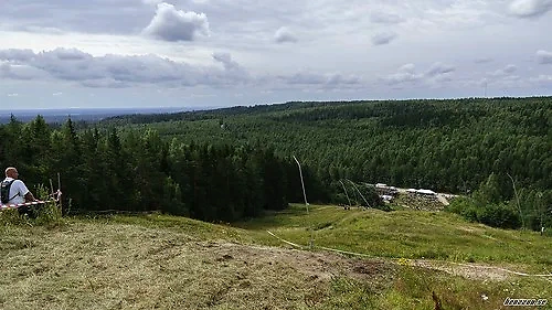
Parkeringen vid Södra Storstenshöjden, Garphyttan
-
Distances: 50 miles, 100 miles
-
Surface: Terräng
-
Location: Parkeringen vid Södra Storstenshöjden, Garphyttan
-
Date:
27 Dec Estimated dateWe have not received an official date for this race.
Race description
All information on this page is based on open source data. We do our best to keep it updated but cannot guarantee that everything is correct. If you see any inaccuracies, contact us and we will correct it as soon as possible.
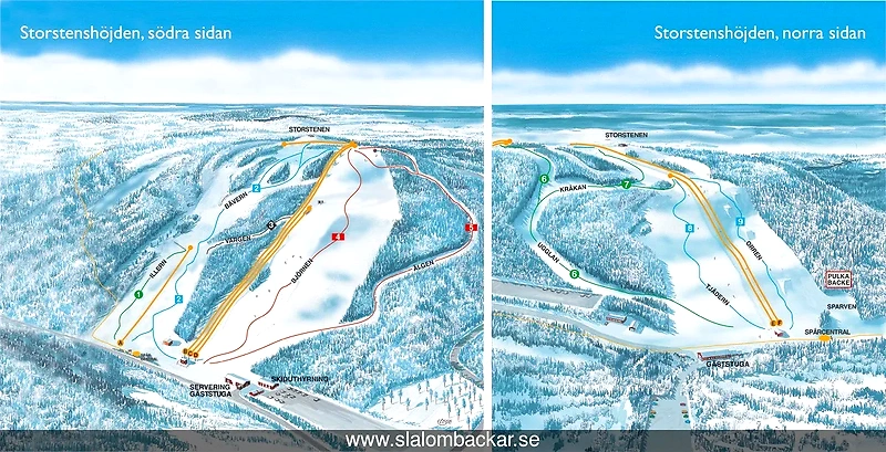
SkogsUltra Storstenshöjden offers an extreme competition that spans 161 km with 10,832 meters of elevation gain. The race consists of technical running on trails, off-trail, and hiking paths, completely without roads. For the 100 miles, participants must complete 8 laps on a course that is both challenging and scenic, with each lap measuring 20 km and 1,354 meters of elevation gain. Expect each lap to take between 4 and 6 hours during the race.
Highlights
- 161 km and 10,832 meters of elevation gain. Technical running on trails, off-trail, and hiking paths. No roads.
- The course consists alternately of trails, unmarked paths, hiking trails, and MTB trails.
- Storstenshöjden 50 miles is an extreme race that has become popular among long-distance runners.
Questions & Answers
Additional information
Detailed information
- Race name: SkogsUltra Storstenshöjden
- Location name: Parkeringen vid Södra Storstenshöjden, Garphyttan
- Distances: 50 miles, 100 miles
- Organizer website: https://www.storstenshojden100miles.se/
- Surface / Race type Terräng