


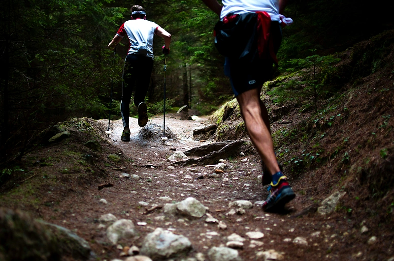
Rock the Trail
Cleator Road
-
Distances: 5 km, 10 km
-
Surface: Trail
-
Location: Cleator Road
-
Date:
11 Apr Estimated dateWe have not received an official date for this race.
Race description
All information on this page is based on open source data. We do our best to keep it updated but cannot guarantee that everything is correct. If you see any inaccuracies, contact us and we will correct it as soon as possible.
Rock Trail is one of WTA's signature projects, built from the ground up thanks to WTA's partnership with various organizations, including Larrabee State Park and Chuckanut Conservancy. A dedicated group of enthusiastic WTA volunteers worked countless hours here, creating a connecting trail from the steep, hilly slope at the top of Cleator Road to South Lost Lake Trail. Rock Trail offers hikers and trail runners a steep climb, wonderful views, and a glimpse into the area's fascinating geology.
Highlights
- Rock Trail is a signature project by WTA, which offers a connector trail from Cleator Road to South Lost Lake Trail.
- The trail offers a steep climb and fantastic views of the area.
- Participants will have the opportunity to discover the fascinating geology of the region.
Questions & Answers
Additional information
Detailed information
- Race name: Rock the Trail
- Location name: Cleator Road
- Distances: 5 km, 10 km
- Organizer website: https://www.wta.org/go-hiking/hikes/rock-trail
- Surface / Race type Trail