

Billingen Trail
Billingen Skövde
-
Distances: 12 km, Half Marathon, 47 km
-
Surface: Trail
-
Location: Billingen Skövde
-
Date:
25 Apr Estimated dateWe have not received an official date for this race.
Race description
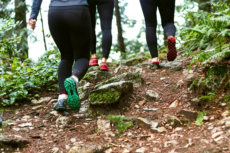
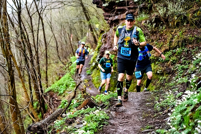
We invite you to running experiences at Billingen. This year, we will have the start and finish at the Stadium in the Billingens recreational area. The long course is just over 47 km with approximately 930 meters of elevation. It goes all around northern Billingen with beautiful trails along the mountain edge. As a runner, you will experience a varied terrain including deciduous forests, mountain ravines, meadows, spruce forests, and in several places, stunning views of the landscape. The surface varies from easy to run on, with about 6 km of asphalt, to some more challenging sections. The middle course, 21 km, runs along the northern part of the Billingeleden and has about 500 meters of elevation. This course features a mix of trails, meadows, and roads. Our shortest distance, 12 km, measures just over 200 meters of elevation and runs on trails of varying difficulty and shorter sections of road. Information about the courses and markings may be subject to change. Start: 47 km, at 10:00 AM at the Stadium, Billingens Recreational Area, Skövde. 21 km, at 10:45 AM at Björnasäter, Lerdala. Bus departs from Billingens Recreational Area at 10:05 AM. 12 km, at 11:30 AM at the Stadium, Billingens Recreational Area, Skövde. Finish: At the Stadium, Billingens Recreational Area, Skövde. All finishes take place at the stadium.
Highlights
- The long course is just over 47 km and about 930 meters of elevation gain, featuring beautiful trails along the mountain edge and varied terrain such as deciduous forests, mountain ravines, and spruce forests.
- The middle trail, 21 km, runs on the northern part of the Billinge Trail and reaches about 500 meters in elevation, featuring a mix of paths, meadows, and roads.
- Our shortest distance, 12 km, measures just over 200 meters of elevation gain and takes place on trails of varying difficulty and shorter sections of road.
Questions & Answers
Additional information
Detailed information
- Race name: Billingen Trail
- Location name: Billingen Skövde
- Distances: 12 km, Half Marathon, 47 km
- Organizer: IFK Skövde FIK
- Organizer website: https://www.svenskalag.se/ifkskovdefik/sida/91918/billingen-trail
- Surface / Race type Trail
